
Minnesota
Lakes on Chain
Collect lakes. Verify catches. Give the data back to the state.
- Role
- Founder, data engineering, front end
- Stack
- Leaflet, vanilla JS, Python + pandas for data prep
- Data
- Minnesota DNR lake metadata, fish catch and length surveys
- Year
- 2025
OVERVIEW
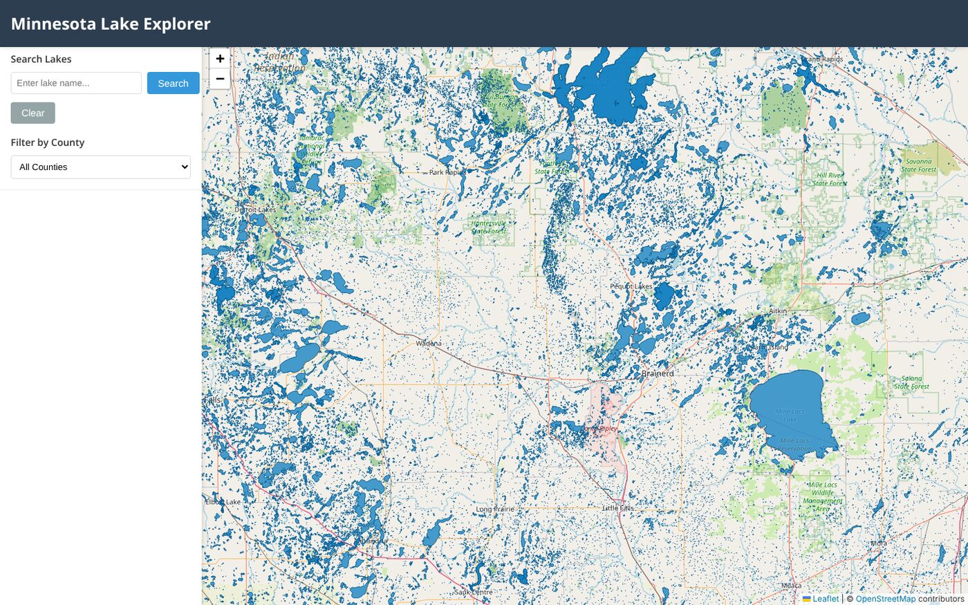
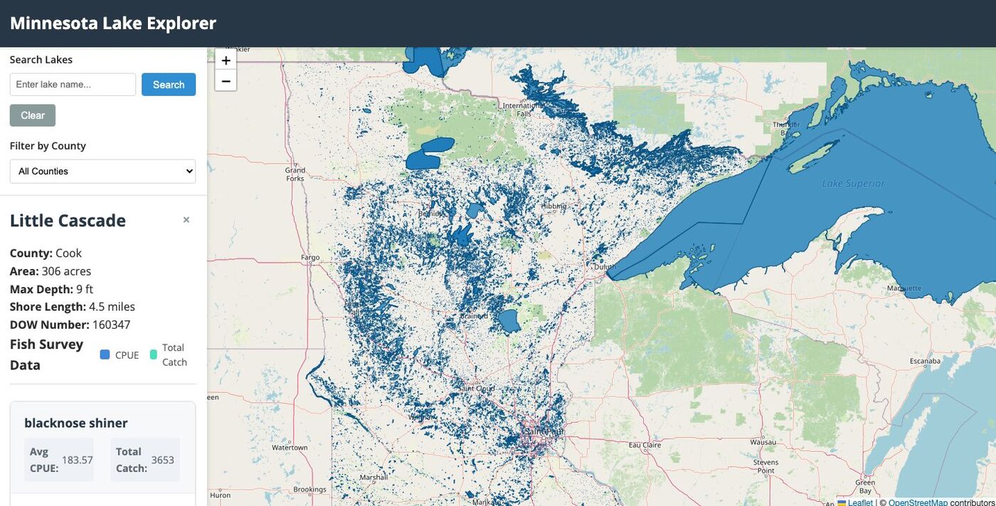
Minnesota is the land of 10,000 lakes, and I wanted to see all of them at once. Minnesota Lakes on Chain is an interactive map of every lake in the state, with the Department of Natural Resources’ own data on each one: area, max depth, shoreline length, and which fish are actually in it.
It’s also the start of something bigger: an app that lets you collect lakes, rewards people for fishing and verifying their catches, and pipes that data back to the Minnesota DNR, creating a public good for the state. In September 2025 the project signed its first sponsor.
FEATURES
- Interactive Leaflet map with clustered markers for every lake.
- Search by name and filter by county, lake size and fish species.
- Lake detail: area, depth, shoreline, fish species with catch and length data.
- Sentinel lake and border-water designations, plus fish consumption advisories.
- One-tap directions in Google Maps or Bing Maps.
- Works on desktop and phone.
THE DATA
The DNR publishes its lake data as a pile of spreadsheets and geopackages: 2024 lake metadata, a statewide catch file, fish length surveys, sentinel and border-water lists, and county borders. I wrote Python preprocessing scripts that join them on lake ID, remove duplicate fish records and output one consolidated dataset the browser loads directly, with no backend.
More Projects